Put the floor plan on the real lot.
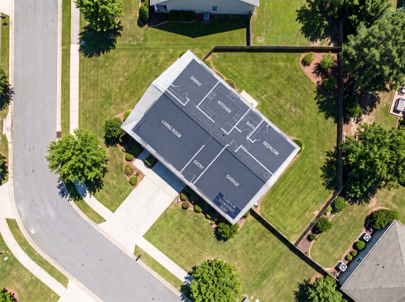
PdfOnMap drops your listing's floor plan onto the satellite view of the actual lot — pin two matching points and it scales and rotates to sit on the house — so buyers grasp the layout on the real property, in a link they just open.
Stop handing buyers a flat floor plan they can't read. Drop the plan, pin two points, and it settles onto the home on its real lot — in about a minute, no know-how needed.
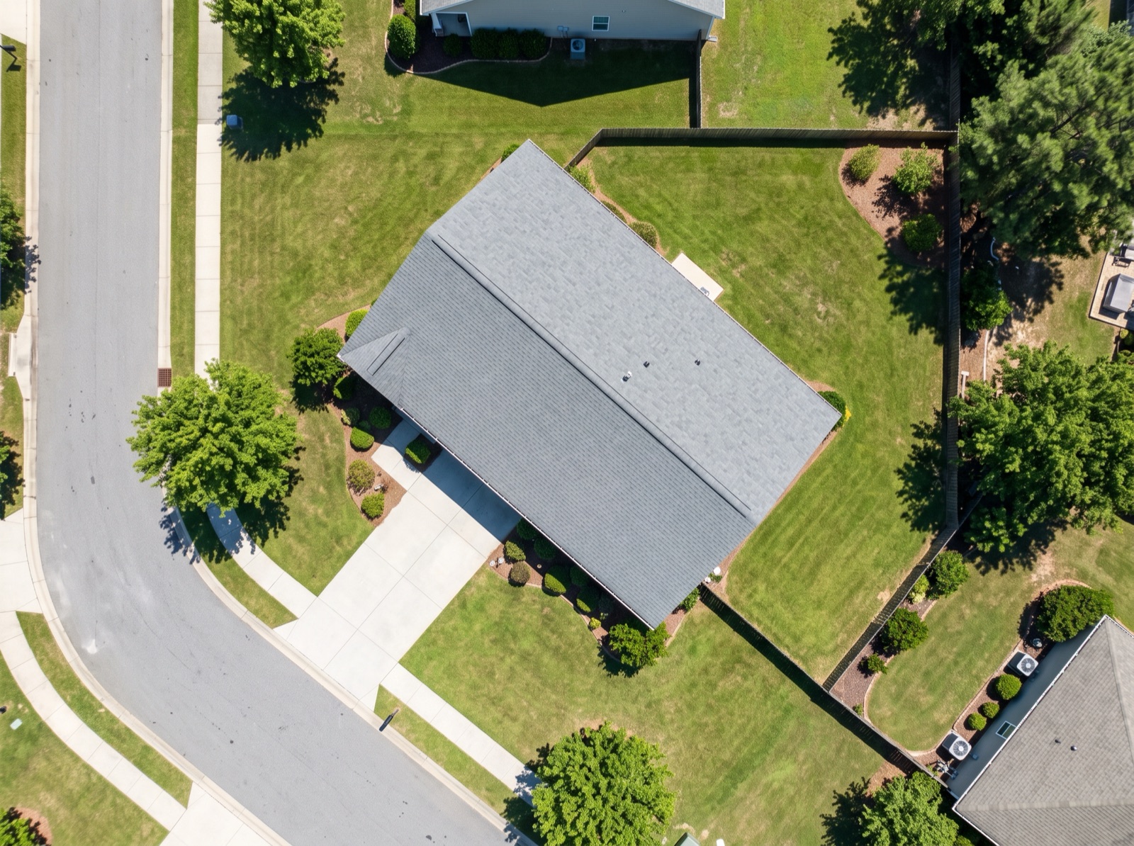
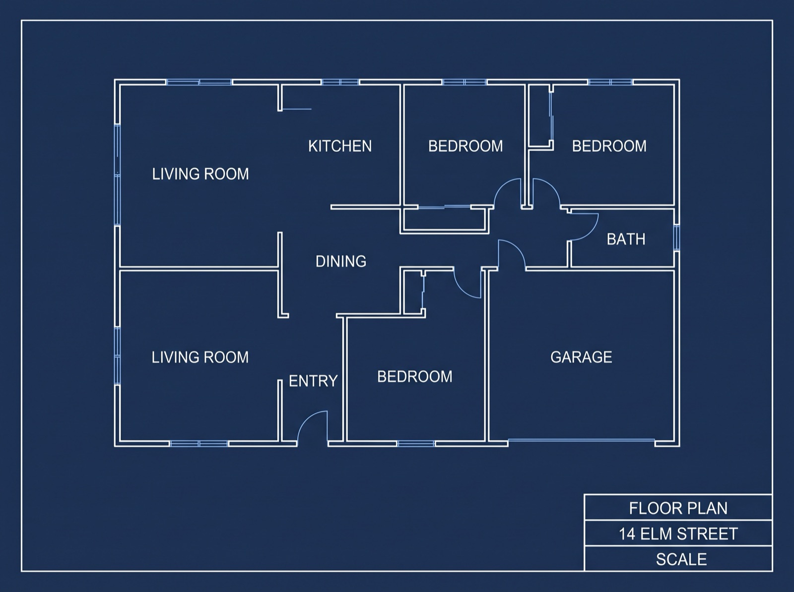
Why can't buyers picture a flat floor plan?
A floor plan only tells half the story — the other half is how the home sits on the lot. Buyers squint at a PDF and can't feel the layout; they can't tell which way it faces, where the garden falls, or how much yard comes with it. The gap is that the plan isn't on the real property yet.
Squinting at a floor plan that means nothing to them.
Opening a link and seeing the home and lot placed right on the real map.
Put your plan on the real map in about a minute
Three steps: upload the drawing, pin two matching points, and share the link.
Upload
Drop in your listing's floor plan — PDF, PNG, JPG or WebP. A photo of a printed plan sheet works too.
Align
Pin two points you can find on both the plan and the satellite view — say a front corner of the house and the corner of the garage. It scales and rotates to sit on the real building.
Share
Drop the live link into the listing, an email, or a buyer chat — no login, no download. Buyers fade between the plan and the lot and explore it on any phone.
How your floor plan lands on the lot
Take the plan sheet you already have, pin two matching points, and it settles onto the real house — keeping every room, label and line.
It turns a flat floor plan into a listing buyers can explore
Everything a buyer needs to actually grasp the home — the layout, on the real lot they can see from above.
Sits on the real building
Drop the plan, pin two points, and it settles onto the house on the satellite view at the right scale and angle.
The fade reveal
Buyers fade between the floor plan and the lot, so the layout finally clicks against the real property.
One live link
Buyers just open it — no login, no download, on any phone. Drop it into the listing, an email, or a text.
How it sits on the lot
Show which way the home faces, where the yard and driveway fall, and how much land comes with it — at a glance.
Unlimited listings
On Pro, keep every listing as its own saved project and reuse the same trick across your whole roster.
Export for the listing
Pull a clean frame for the listing page, a flyer, or the marketing pack.
Your plan, your listing — on the real lot
Because it's your floor plan on the map, every room, label and line comes with it. The shared map doesn't read like a technical drawing; it reads like the home on its actual lot. That's a listing a buyer remembers — and forwards to the person they're buying with.
Good to know
Is the parcel boundary legally accurate?+
No — treat it as showing buyers roughly how the home and lot sit, not a legal boundary. It's for grasping the layout and the property at a glance; for anything binding, point to the official survey or plat. Pin two points and it settles onto the satellite view; add more points for a closer fit on an irregular lot.
Will buyers need an app or an account to see it?+
No. You share a live link and they tap it — it opens in any phone or laptop browser, with no login and no download. That's the point of the shareable link: every buyer sees the same floor plan on the real lot without installing anything.
I'm not technical — is this hard to set up?+
No. Drop the file, pin two matching points, and it lines up — about a minute, start to finish. If you can add a photo to a listing, you can do this; no mapping know-how needed.
I already add floor plans and photos — why is this different?+
Floor plans and photos stay flat. Here the plan sits on the real lot, at the right scale and angle, and buyers explore the same live view. Instead of describing how the home sits, you show it — on the actual property, in a link they can revisit any time.
Can I use the plan from the brochure, or a photo of a printed sheet?+
Both. Drop in a PDF from the listing pack or a photo of a printed plan (PDF, PNG, JPG or WebP). Pin two matching points and it scales and rotates to sit on the building — a rough or not-to-scale sheet still lines up well enough to show and share.
More ways to put a layout on the map
Put the floor plan on the real lot
…and give buyers a link that finally makes the layout click.
Put your floor plan on the map →