Lay an old map over today's streets.
PdfOnMap drops an old or antique map onto today's streets — pin two matching points and it scales and rotates to line up — so you can see exactly where a vanished farm, house or boundary sat, and fade between then and now in a link anyone can open.
Stop guessing where great-grandad's farm stood. Drop the old map, pin two points you can find on both, and the past settles onto the modern streets — in about a minute, no know-how needed.
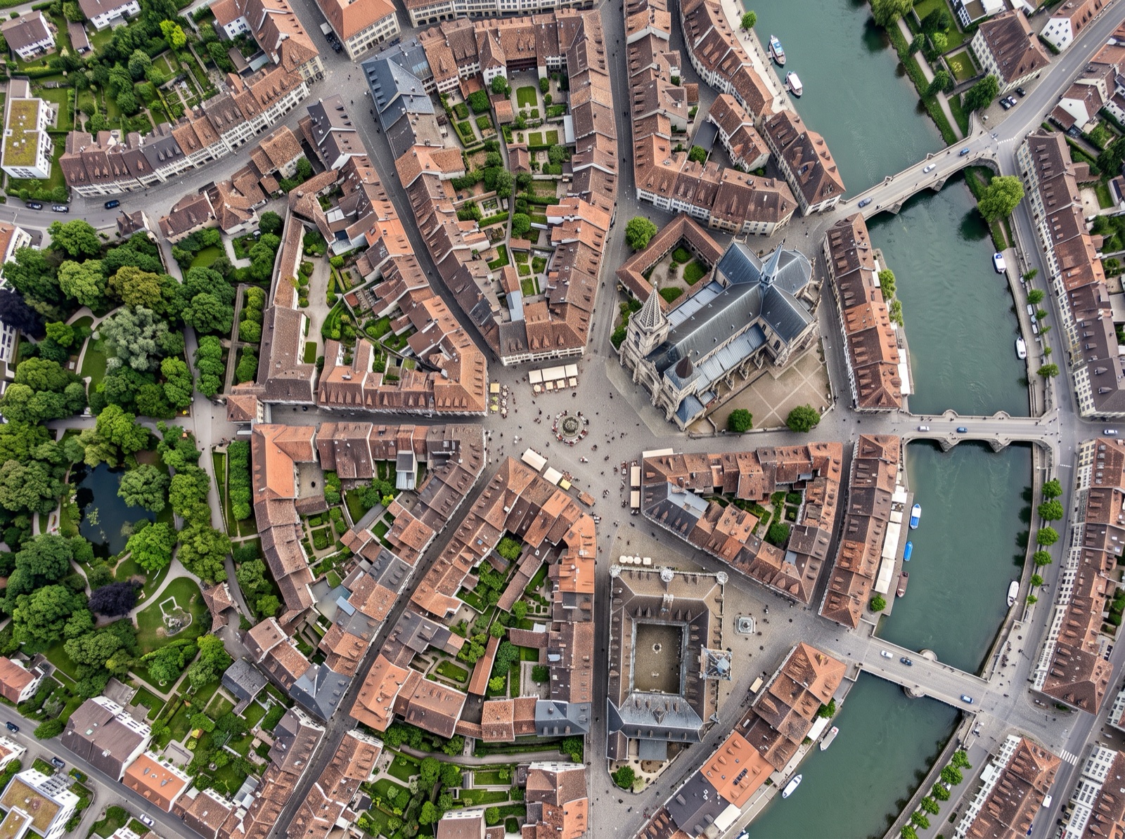
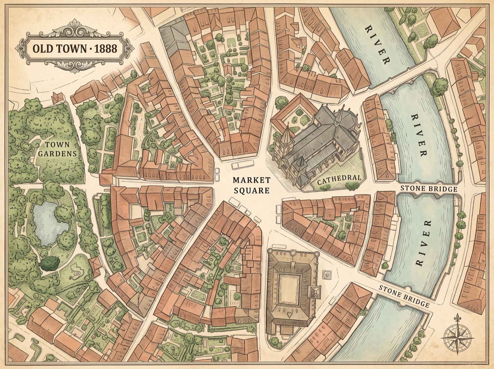
Where did the old place actually stand?
An old map is only half the story — the other half is where it sits on today's streets. You trace a lane with your finger and wonder which modern road it became; you know the farm was near the river, but the river has moved and the fields are houses now. The gap is that the old map isn't laid over the real place yet — so you're translating a century of change in your head.
Squinting between an old map and a modern one, guessing where a vanished place sat.
Watching the old map settle onto today's streets — 'there it is,' right on that corner.
Put your plan on the real map in about a minute
Three steps: upload the drawing, pin two matching points, and share the link.
Upload
Drop in your old or antique map — PDF, PNG, JPG or WebP. A photo or scan of a fragile paper map works too.
Align
Pin two points you can find on both the old map and today's — say a church tower and a bridge that still stand. It scales and rotates to line the past up with the present.
Share
Send a live link family or society members just open — no login, no download. Fade between then and now; stack several old maps as layers to watch the place change over time.
How the old map lines up with now
Take the scanned old map you already have, pin two matching points that survive on both, and it settles onto the modern streets — keeping every hand-drawn line and label.
It turns a flat old map into a shared then-and-now view
Everything a historian or society needs to find a place and show it to others — laid over the real modern map.
Lines up with today
Drop the old map, pin two points, and it settles onto the modern streets at the right scale and rotation — as closely as the old map allows.
The then-and-now fade
Fade between the old map and today and watch a vanished farm, lane or boundary settle onto the real ground.
One live link
Family and society members just open it — no login, no download, on any phone or laptop.
Stack maps as layers
Put a 1790, an 1888 and a modern map on the same spot and toggle between them to watch the place change.
Walk the actual spot
Open the link on your phone where you're standing and see the old map lined up with the ground under your feet.
Bring the whole society
On Team, a research group adds on-map comments and roles — who edits the project, who just views the find.
The past, settled onto the place you know
There's a particular quiet thrill when the old map slides into place and the farm your family talked about lands right on that field by the bypass. It stops being an abstract sheet and becomes this place, then. That's the moment worth sharing — the one that makes a cousin or a society member lean in and say 'so that's where it was.'
Good to know
How accurate can an old, hand-drawn map really be?+
As accurate as the old map itself allows — and that's often enough to find a place, not to draw a legal boundary. Pin two points that survive on both maps and it lines up closely; add more points to tighten the fit on a distorted sheet. Treat it as visualizing and comparing then-and-now, not exact measurement, and you'll trust what you see.
My old map is warped, torn and not to scale — will it still line up?+
Yes, within reason. Old maps stretch, shrink and drift, so no overlay will be perfect. Pin two matching points and it scales and rotates to settle onto today's streets; pin a few more and it tightens where the distortion is worst. A hand-drawn or not-to-scale sheet still lines up well enough to point at a spot and say 'about here.'
How do I align it — what two points do I pick?+
Pick two features you can find on both the old map and today's that haven't moved: a church tower, a stone bridge, a crossroads, a boundary corner. Click the point on your old map, click the same point on the real map, repeat once, and it scales and rotates to fit. The steadier and further apart your two points, the better the whole map lines up.
Can I share a find with family or society members who aren't technical?+
Yes — you send one live link and they tap it. It opens in any phone or laptop browser with no login and no download, and they can pan, zoom and drag the fade between then and now themselves. For a society running a shared research project with on-map comments and roles, that's the Team plan; a solo enthusiast sharing finds is covered by Pro.
Can I stack several old maps of the same place?+
Yes. Load each old map as its own layer over the same spot — a 1790, an 1888, a modern survey — and toggle or fade between them to watch streets, fields and buildings change across the decades. It's the fastest way to show a society how a place grew, and to see exactly when a farm or lane disappeared.
More ways to put a layout on the map
Lay your old map over today's streets
…and watch the vanished place settle right onto the ground.
Put your old map on the map →